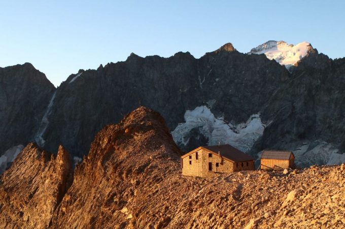
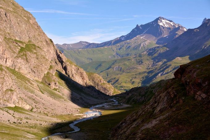
Long and difficult, the ascent up to the refuge passes in the green prairies of the Plan de l'Alpe with mineral sheets draping down from the high summits sheltering the source at Romanche.
About : Adèle Planchard Refuge
From Gravière car park, follow the bottom of the valley on the right bank on an excellent track which crosses the Pas d'Anna Falque. The fork that divides the way between the refuges at Adèle Planchard is well indicated... Turn right and take the long path crossing the Plan de l'Alpe. A long flat section on the right bank in the bottom of the valley followed by a short steep path on the left bank takes you to a grass plain... A crossing of about 1 kilometer prepares you for the onerous ascent across rocky ledges which are sometimes equipped with cables... Fill up with water, there is none higher up. At the foot of the ultimate projection is an immense scree that you must ascend without getting lost. At last, Adèle Planchard refuge appears on the ridge protected from avalanches dominating this mineral space. Return following the same itinerary.
Welcome: Hard
En bref
7 h 00
J+ : 1467 m
21.93 km
Download
Prices
Free of charge.
Location supplement
Departure : Le pont d'Arsine, Villar d'Arêne.
From the Grave, take the D1091 in the direction of Villar d'Arêne. Turn left onto the D207. At the crossroads, turn right to Le Palun. Cross the Arsine bridge and park in the car park situated on the right.


