
9594137-diaporama
13753893-diaporama
4745968-diaporama
9594136-diaporama
4745939-diaporama
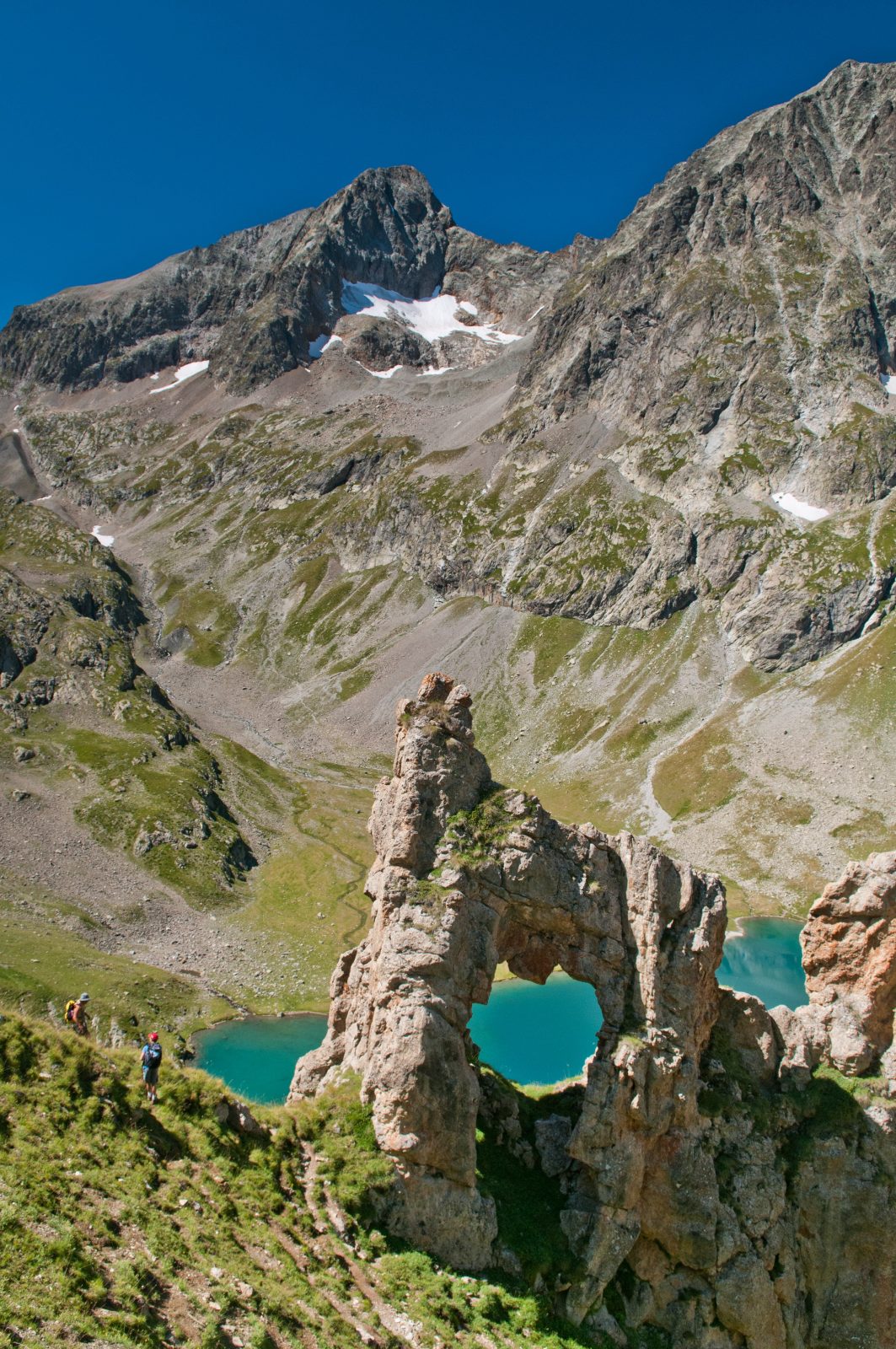
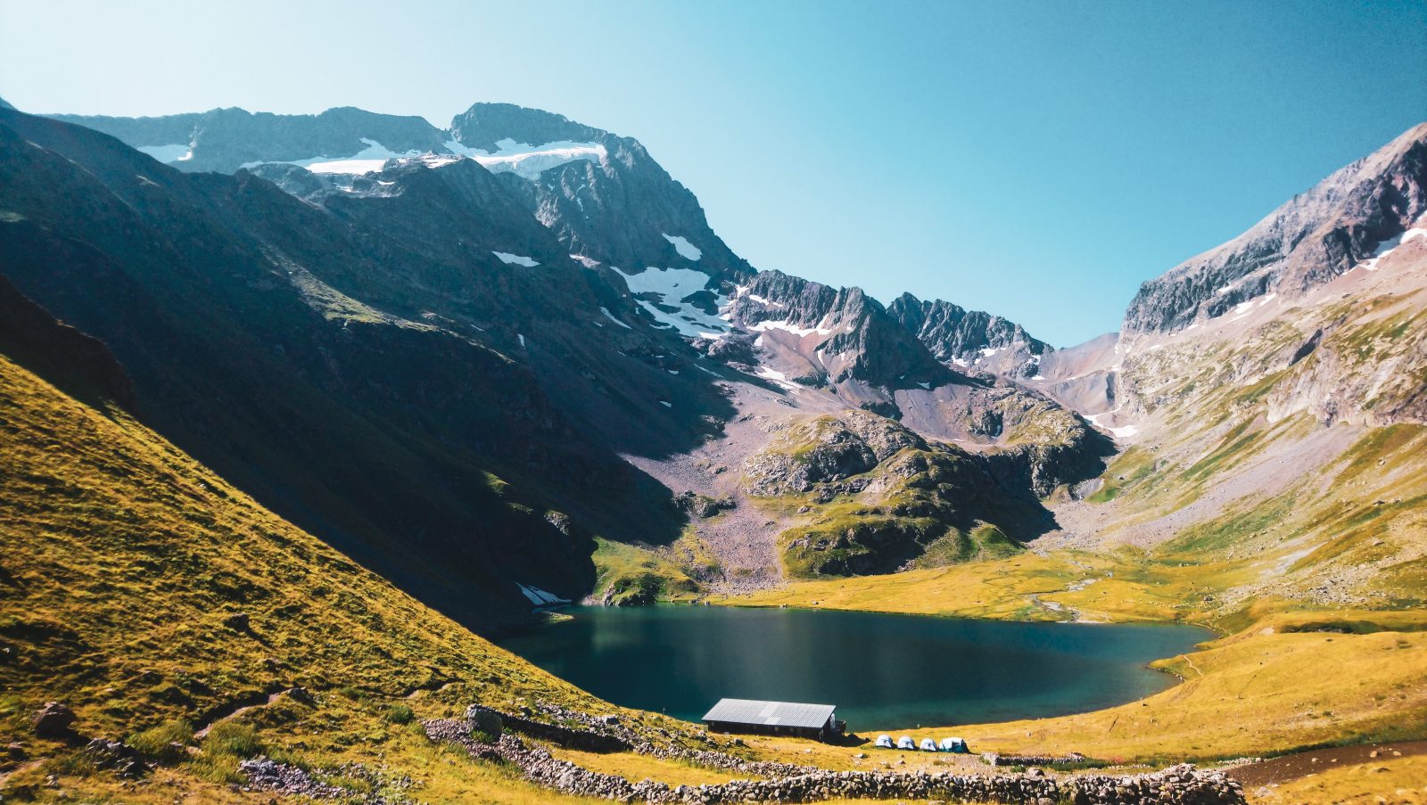
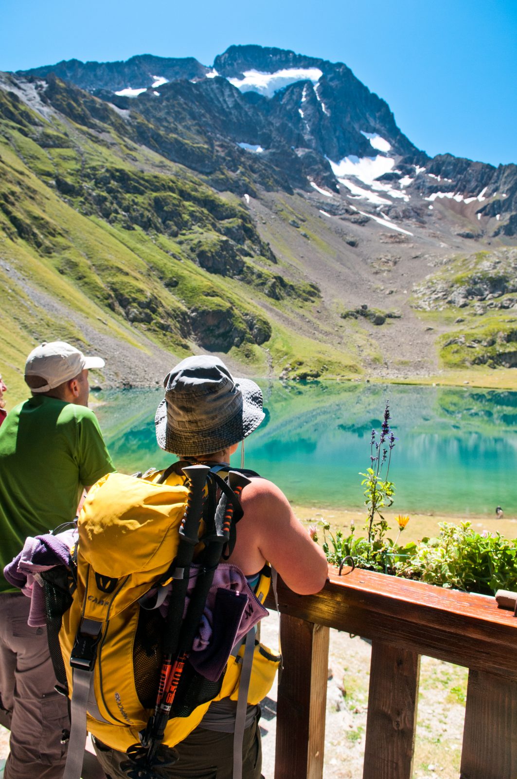
Walking to La Muzelle is a way to discover the typical landscapes of the Oisans. The height difference is impressive, but it enables you to walk through a spruce wood, then on alpine grass, and finally in the middle of a mineral cirque.
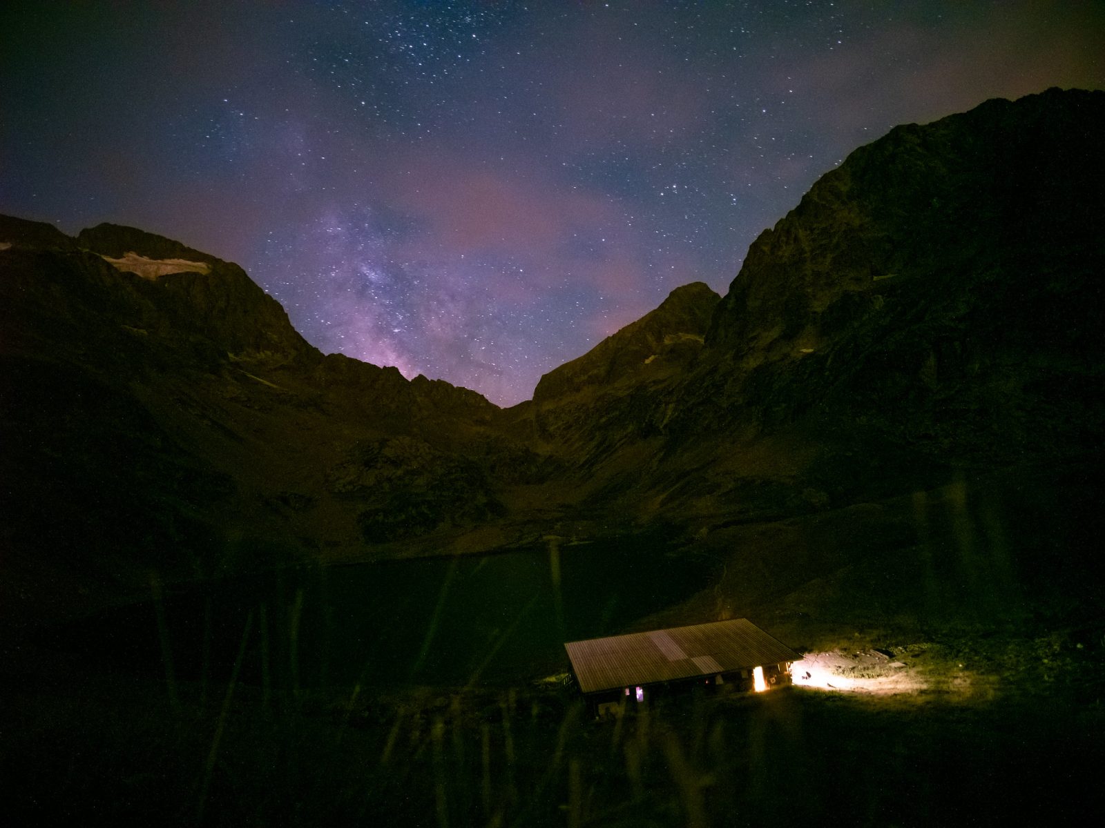
About : Hiking – Lake and refuge de la Muzelle
TECHNICAL INFORMATIONS
Starting point: Shelter of la Muzelle
Elevation gain: 1226 m
Duration There/Back: 4h
Distance: 5,5 km
ITINERARY
From « l'Alleau », take direction « Refuge de la Muzelle » after the small bridge. Follow the winding path leading to the ruins of Pleney. The path continues near the torrent until le « Clot du Sella ». Cross the bridge , and follow the « ardoisières » then « les marches » before you arrive at the lake.
Tips
Opportunity to spend the night at the Muzelle hut .Think to book !
if you want to hike with your baby , the tourist office rents baby carriers
En bref
4 h 00
J+ : 1226 m
5.5 km
Level red – hard
Map and GPX marking
Hiking – Lake and refuge de la Muzelle
Venosc
Services
- Accommodation
This service provider also offers


Location supplement
in Bourg Arud follow the direction of the refuge and lake Muzelle